May 9, 2026
Use of Drones in Raham Group’s Construction and Industrial Projects
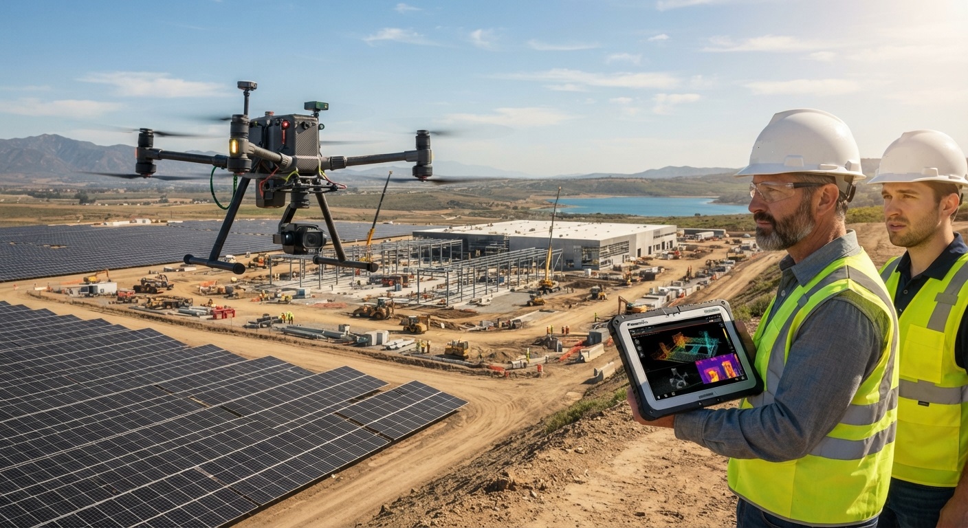
Given the scale, diversity, and complexity of Raham Group’s projects across power generation, renewable energy, and industrial infrastructure sectors, deploying modern technologies is essential for enhancing project supervision, control, and execution quality. Consequently, the integration of Unmanned Aerial Vehicles (UAVs / Drones) has become an integral component of Raham Group’s project management and oversight framework.
This technology delivers high-precision aerial imaging, spatial data collection, and structured progress documentation, significantly improving operational efficiency, reducing expenditures, and accelerating project execution schedules.
1. 3D Spatial Modeling and Industrial Site Surveying
In power plant and renewable energy projects, precise topographical and spatial surveying prior to civil works execution is critical. Utilizing advanced photogrammetry technology, drones operated by Raham Group capture high-resolution aerial imagery in minimal time to generate accurate 3D site models. These models serve as the technical foundation for optimized engineering design, structural analysis, and precise civil works execution.
2. Continuous Progress Monitoring and Oversight
Raham Group’s supervision teams utilize drones to maintain systematic monitoring of construction progress. The acquired aerial data enables management to benchmark actual site progress against baseline schedules, allowing immediate identification of variances and rapid execution of corrective actions. This approach ensures complete data transparency and strict operational control across all project phases.
3. HSE Optimization and Operational Risk Mitigation
In power generation infrastructure and high-altitude structural installations, physical access to critical or hazardous zones presents significant safety risks. Drones facilitate comprehensive inspections and technical assessments without exposing personnel to high-risk environments. This protocol significantly enhances Health, Safety, and Environment (HSE) standards, minimizes occupational hazards, and protects site personnel.
4. Time and Cost Optimization
Drones capture data with higher precision and speed compared to conventional land surveying techniques, operating at a fraction of the cost. By implementing advanced UAV technology, Raham Group achieves measurable reductions in supervisory overhead and project duration while maintaining strict accuracy and quality standards.
5. Phase-by-Phase Documentation and Executive Visual Reporting
Every stage of execution across Raham Group’s industrial and power plant projects is systematically captured via high-definition aerial imagery and video. This documentation serves as a transparent progress report for clients and consultants, while also providing a technical reference for performance audits, team training, and formal project closeout documentation.